Chalton Maps
The map below is part of the inclosure map for Toddington of 1797 [MA1/1]. To see a larger version please click on the image
![Chalton in 1797 [MA1-1]](/CommunityHistories/Chalton/ChaltonImages/Chalton in 1797 [MA1-1]_275x300.jpg)
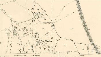
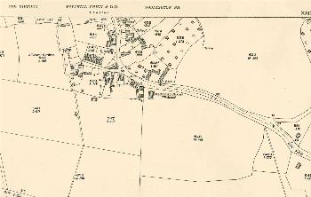
The images below are 1st edition Ordnance Survey 25 inches to the mile maps of 1882. To see a larger version please click on the appropriate image.
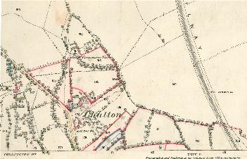
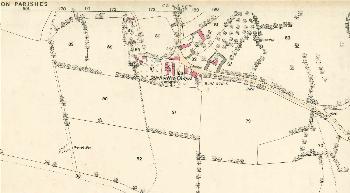
The images below are 3rd edition Ordnance Survey 25 inches to the mile maps of 1926. To see a larger version please click on the appropriate image.