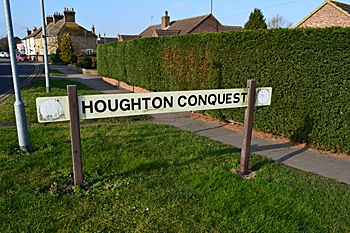
The Parish of Houghton Conquest in General
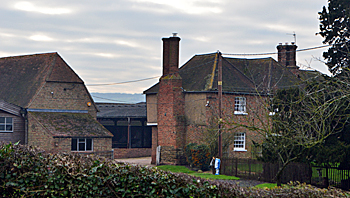
Hill Farm Janaury 2015
Landscape
Houghton Conquest is mostly based on a solid geology of Oxford Clay, hence the former brick-making activities in the area. Oxford Clay is a mudstone laid down between 154 and 164 million years ago in the warm, shallow seas of the Jurassic Period. The clay soil was traditionally used to grow wheat, barley, oats, beans and peas.
Houghton Conquest is in the low lying clay Vale of Bedford. The church is 168 feet above sea-level and the Old Rectory at 198 feet. Duck End Close is as low as 144 feet and Chapel End Farm stands at 163 feet above sea-level.
Name
The Place Names of Bedfordshire and Huntingdonshire by A Mawer and F M Stenton 1926 Farm on the spur of land and the name of the Conquest family, Lords of the Manor for hundreds of years.
- Oustone: 1086;
- Houstone: 1086;
- Hocton: 1202-1247;
- Hoghton: 1220-1297;
- Hohton: 1227;
- Octona: 1227;
- Houton: 1242-1276;
- Houcton: 1247;
- Houghton: 1287;
- Houghton Conquest: 1316 to date;
- Horton: 1675
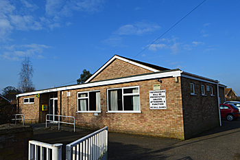
The Village Hall February 2016
Administrative History
Houghton Conquest is an ancient parish in the Redbornestoke Hundred. It is surrounded by Wilshamstead to the north, Haynes to the east, Ampthill to the south, Millbrook to the south-west, Marston Moretaine to the west and Wootton to the north-west.
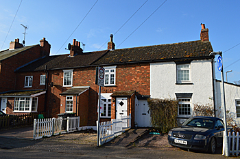
2 to 8 Rectory Lane February 2016
Population
The Domesday Book gives a total population of 19 villagers, 13 smallholders and 7 slaves for a total of 39 in Houghton Conquest . As this number represents the heads of household, to get an idea of the total population it is probably necessary to multiply this figure by a factor of at least four suggesting a total population to somewhere around 156. This makes it a very substantial settlement for the place and time, Ampthill, for example had about 36 people and Woburn 68.
Modern census figures since 1801 give the following statistics:
- 1801: 507;
- 1811: 505;
- 1821: 651;
- 1831: 794;
- 1841: 746;
- 1851: 786;
- 1861: 784;
- 1871: 735;
- 1881: 620;
- 1891: 579;
- 1901: 571;
- 1911: 535;
- 1921: 560;
- 1931: 565;
- 1951: 1,000;
- 1961: 875;
- 1971: 1,163;
- 1981: 1,222;
- 1991: 1,290;
- 2001: 1,299;
- 2011: 1,514.