The Community of Stratford in General
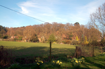
Looking towards Galley Hill April 2010
Landscape
Stratford is a long, narrow community strung out along Stratford Road with the railway to one side and the high ground of Sandy Heath to the other. The inhabited area averages between 95 and 130 feet above sea level.
The solid, or underlying, geology is a type of greensand called Woburn Sands Formation. This sandstone was laid down between 99 and 121 million years ago in the warm, shallow seas of the Cretaceous Period. The proximity to the River Ivel as well as the underlying geology combine to give a light, sandy soil.
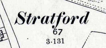
Name
The name Stratford means "street ford" the street element usually referring to a Roman road. The hamlet was first recorded in 1325 and already had the modern form of the name.
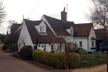
2 Stratford Road - Honeydale Cottage - March 2010
Administrative History
Stratford has ancient roots. Iron Age people occupied Sandy Heath and a small Roman town covered the area to the north of the settlement, known as Chesterfield. Today's Stratford has always been a hamlet in the ancient parish of Sandy. In the early 20th century most of the village was owned by the 2nd Viscount Peel. The 1st Viscount had bought part of Sandy Manor estate at auction in 1858 indicating that Stratford was a manorial estate village.