Stratford Maps
The following maps are only a selection of those held at Bedfordshire Archives.
The image below is of part of the Sandy inclosure map of 1799 [ref: MA14]. To see a larger version, please click on the image.
![Stratford in 1799 - buildings highlighted in red [MA14]](/CommunityHistories/Stratford/StratfordImages/Stratford in 1799 - buildings highlighted in red [_125x300.jpg)
Stratford in 1799 - buildings highlighted in red [ref: MA14]
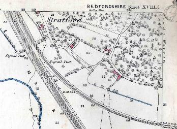
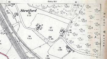
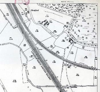
The images below are from Ordnance Survey 25 inches to the mile maps of the area. To see a larger version, please click on the relevant image.
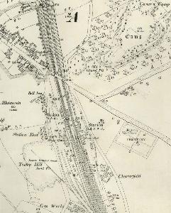
The northern part of Stratford in 1901
The northern part of Stratford in 1926
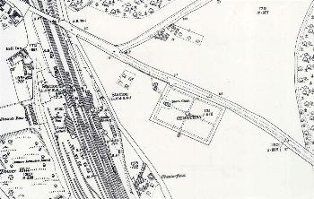
The central part of Stratford in 1901
The central part of Stratford in 1926
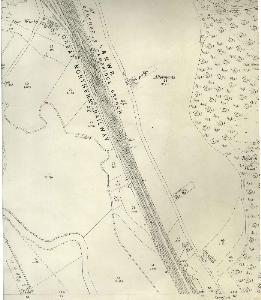
The southern part of Stratford in 1884
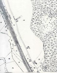
The southern part of Stratford in 1901
The southern part of Stratford in 1926