The Parish of Chalton in General
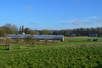
Looking north east towards the M1 February 2016
Landscape
The underlying, or solid, geology of Chalton is chalk, mostly a form known as West Melbury Marly Chalk Formation, laid down between 94 and 99 million years ago in the warm, shallow seas of the Cretaceous Period. An east-west band south of the village comprises Zig Zag Chalk Formation, laid down at the same time.
Chalton School stands 367 feet above sea-level and the T-junction at Chalton heights 412 feet. The old Methodist chapel stands at 393 feet above sea-level.
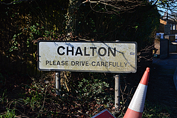
Name
The name Chalton means "calf-farm". It is first recorded in 1131 as Chaltun and also has the following variations, the form Chalton itself first appearing in 1195:
- Chalftun: c. 1200
- Chauton: 1200-1250
- Chalfton: 1227
- Chaulton: 1610-1766
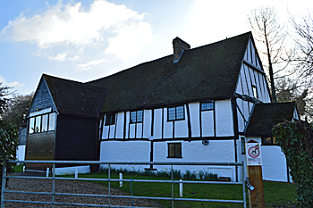
Chalton Village Hall February 2016
Administrative History
Chalton was formerly a hamlet of Toddington. It became a separate
civil parish in the early 21st century. Chalton is surrounded by Toddington to the north, Sundon to the north-east, Luton to the south-east and south, Houghton Regis to the south-west and Chalgrave to the west.