Whipsnade Maps
The maps below are from the tithe apportionment for Whipsnade dating to about 1842. To see a larger version please click on the appropriate image.
![The western half of the village about 1842 [MAT50]](/CommunityHistories/Whipsnade/WhipsnadeImages/The western half of the village about 1842 [MAT50]_350x291.jpg)
The western half of the village about 1842 [MAT50]
![The eastern half of the village about 1842 [MAT50]](/CommunityHistories/Whipsnade/WhipsnadeImages/The eastern half of the village about 1842 [MAT50]_349x243.jpg)
The eastern half of the village about 1842 [MAT50]
The maps below are taken from the first, second and third edition Ordnance Survey 25 inches to the mile maps of 1880, 1901 and 1924 resepctively. Again, to see a larger version please click on the relevant image.
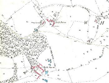
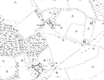
The western half of the village in 1880
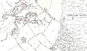
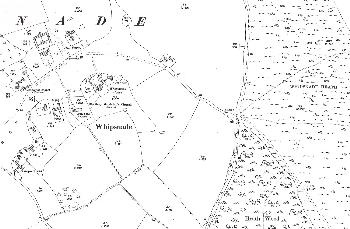
The eastern half of the village in 1880
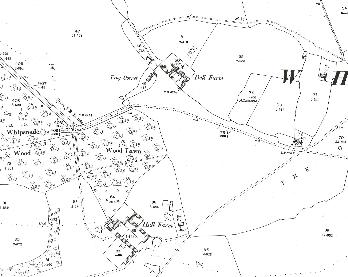
The western half of the village in 1901
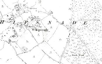
The eastern half of the village in 1901
The western half of the village in 1924
The eastern half of the village in 1924