The Community of Colesden in General
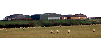
Colesden Lodge Farm March 2010
Landscape
The landscape is gently undulating. The lowest point, in the east towards Chawston lies around 90 feet above sea-level whereas, north-east of Duck's Cross it reaches 165 feet. Bell Farm and Colesden Grange both stand at around 115 feet above sea level.
The solid, or underlying, geology is Oxford Clay, a mudstone laid down between 154 and 164 million years ago in the warm, shallow seas of the Jurassic Period. The superficial geology is a mix of till, head - a mixture of sand, gravel, clay and silt and alluvium, a riverine melange of the same constituents
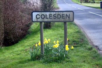
The Colesden sign March 2007
Name
Colesden, first recorded in 1195 and already had the modern version of the name. It means "Col's Valley" from an Anglo-Saxon personal name and the word "denu". Despite being called Colesden in 1195, the hamlet has had a number of variations in the form of its name over the years:
- Colesdene: 1195-1287;
- Coledene: 1227;
- Colendene: 1227;
- Collesden: 1236-1535;
- Colisden: 1276;
- Collesdon: 1343;
- Colsdene: 1346;
- Collisden: 1386;
- Coldsden: 1592.
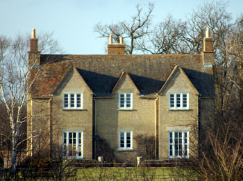
Colesden Grange Farmhouse March 2010
Administrative History
Colesden has never been a large place and is, today, a scatter of farms and private dwellings. A look at the maps of the hamlet will show that the area around Colesden Green was very similar in 1813 and in 1884.
Until 1st April 2007 Colesden formed a part of the ancient parish of Roxton but since then has formed part of the new civil parish of Wyboston, Chawston and Colesden. It is interesting to note that Colesden and Chawston were described as a single township in 13th century coroners' rolls.