The Community of Brook End in General
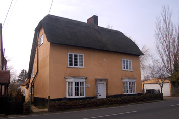
Brook End House March 2010
Landscape
The land is low lying, only around 80 feet above sea level, though it rises to around 100 feet at the top of Vinegar Hill. The soil is called head, a mixture of gravel, sand, silt and clay. Beneath this the solid geology is Oxford Clay, a mudstone formed some 154 to 164 million years ago during the Jurassic Period in warm, shallow seas.
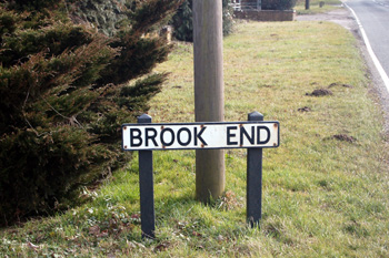
Brook End sign March 2010
Name
The name is, of course, self-explanatory.
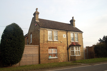
1 Brook End March 2010
Administrative History
Brook End traditionally formed part of the parish of Northill. The settlement was larger in the 19th century and evenly divided between the two sides of the road. Today the boundary between the civil parishes of Northill and Sandy runs down the middle of Vinegar Hill at this point. Thus Brook End is divided between the two parishes - the buildings on the west side of the road lying in Northill and those on the east side in Sandy.