The Parish of Brickhill in General
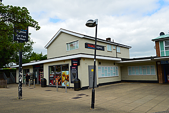
The former Bird in Hand June 2017
Landscape
Most of Brickhill stands on a solid geology of Oxford Clay Formation, a mudstone laid down between 154 and 164 million years ago in the warm, shallow seas of the Jurassic Period. The land rises from south to north: the roundabout at Kimbolton Road, Wentworth Drive and Avon Drive is 139 feet above sea-level whilst Beauchamp Middle School in Hawk Drive is 160 feet.
![Brickhill Farmhouse in the 1930s [Z50/9/809]](/CommunityHistories/Brickhill/Brickhill-Images/Brickhill-Farmhouse-in-the-1930s-Z50-9-809.jpg)
Brickhill Farmhouse in the 1930s [Z50/9/809]
Name
The Place Names of Bedfordshire and Huntingdonshire by A Mawer and Frank M Stenton was published in 1926 but is still the most scholarly study of the county’s place names and their origins. We discover that the name has nothing to do with bricks but rather means “hill top”, the first element being an Ancient British word “brig”. It has had a few different forms:
- Brichull: 1276;
- Berchull: 1276;
- Brykhill: 1287;
- Brikhull: 1287
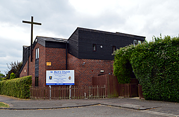
Saint Mark's Church June 2017
Administrative History
Brickhill was a hamlet partially in the parish of Goldington and partially in Bedford until 1934 when those parts formerly in Goldington were transferred to Bedford. Brickhill became a separate civil parish in 2004.
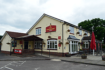
The Pheasant June 2017
Population
In 2011 Brickhill had a population of 8,153.