Brickhill Maps
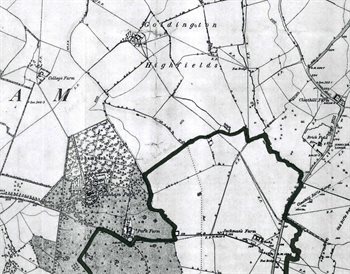
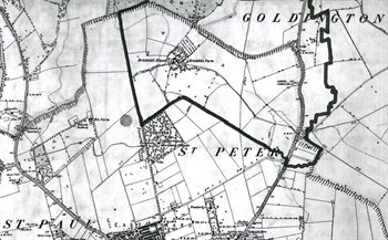
The two maps below are Ordnance Survey 6 inches to the mile 1st edition maps of about 1880. They show the approximate boundary of today's Brickhill parish superimposed on the 19th century landscape. To see larger versions please clirkcon the relevant image.


The current boundaries of Brickhill may be found on the parish council website.