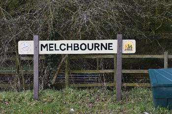
The Parish of Melchbourne in General
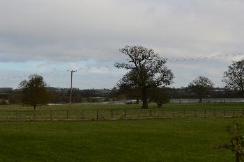
The Park looking north-east February 2014
Landscape
The solid, or underlying geology of Melchbourne is of a type known as Oxford Clay Formation. This mudstone was laid down between 154 and 164 million years ago in the warm, shallow seas of the Jurassic Period. Parts of the village have a soil comprising alluvium, a mix of clay, silt, sand and gravel laid down by rivers. Other parts of the parish comprise a diamicton called Oadby Member which was laid down in the Ice Ages.
The church stands at 262 feet above sea-level. The junction of Park Road and Knotting Road is lower lying, at 229 feet.
Name
Melchbourne presents some difficulty to philologists trying to determine what it means. A Mawer and F M Stenton in their Place Names of Bedfordshire and Huntingdonshire of 1926 make a best guess that it means honeyed stream because the water tasted particularly sweet. By contrast The Oxford Dictionary of English Place Names suggests stream giving milk, meaning that milk cattle gave plenty of produce because of the well-watered streams. Either way the name seems somewhat poetic! The name has undergone a few changes over the years as can be seen below:
- Melceburne: 1086;
- Melcheburn: 1163-1428;
- Melcheburne: 1163-1428;
- Melchburn: 1220-1262;
- Melchburne: 1220-1262;
- Meleburne: 1242;
- Melchebourn: 1316-1358;
- Melchebourne: 1316-1358;
- Milchbourne: 1675.
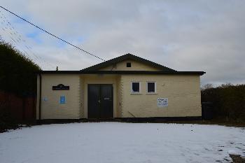
The Village Hall February 2014
Administrative History
Melchbourne is an ancient parish in the Stodden Hundred. It originally included the chapelry of Knotting, though that became a separate parish in 1176. The civil parish was abolished in 1934 and merged with Yelden to create the civil parish of Melchbourne and Yelden. The ecclesiastical parish continues though the church is held in plurality with Dean, Pertenhall, Shelton, Swineshead and Yelden as The Stodden Churches.
Melchbourne is surrounded by Dean to the north, Swineshead to the east, Riseley to the south-east, Knotting to the south-west and Yelden to the west.
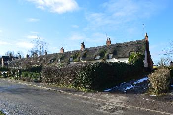
11 to 18 Park Road February 2014
Population
Melchbourne in 1086 was held by Geoffrey de Montbray, Bishop of Coutances. It extended over ten hides and included woodland for one hundred pigs. The manor also contained 13 villagers, 15 smallholders and 3 slaves – 31 people. This number represents the heads of household. To get an idea of the total population it is probably necessary to multiply this figure by a factor of at least four suggesting a total population to somewhere around 125 – a very decent sized settlement for the time, more, in proportionate times, than today. The figures from 1801 to 1931, as determined by censuses are as follows:
- 1801: 229;
- 1811: 223;
- 1821: 244;
- 1831: 227;
- 1841: 274;
- 1851: 290;
- 1861: 251;
- 1871: 245;
- 1881: 219;
- 1891: 165;
- 1901: 174;
- 1911; 184;
- 1921: 164;
- 1931: 160
In 1934 Melchbourne was joined with Yelden into one civil parish and the remaining census figures relate to the two settlements:
- 1951: 292;
- 1961: 342;
- 1971: 251;
- 1981: 249;
- 1991: 294;
- 2001: 390;
- 2011: 392.