The Village of Greenfield in General
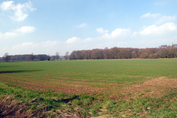
Looking from Greenfield towards Greenfield Road Flitwick, March 2011
Landscape
Most of the village of Greenfield is around 200 feet above sea-level. The lower school stands at about 230 feet. The solid, or underlying, geology is a type of sandstone called Woburn Sands Formation, which was laid down between 99 and 121 million years ago in the shallow seas of the Cretaceous Period. The superficial geology is a mixture of sand, gravel, clay and silt called head.
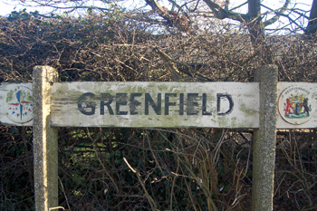
Greenfield sign, February 2011
Name
The name Greenfield is self-explanatory. The following forms have occurred over the years with the modern form first appearing in 1766:
- Grenefelde: 1286;
- Grenfelde: 1548.
![Greenfield in 1828 [L33-9]](/CommunityHistories/Greenfield/GreenfieldImages/Greenfield in 1828 [L33-9]_223x300.jpg)
Greenfield in 1828 [ref: L33/9]
Administrative History
Greenfield used to be in the strange position that it was a hamlet in both the ancient parishes of Flitton and of Pulloxhill. The boundary between the two parishes ran down the middle of the High Street and down the middle of the western part of Flitton Road. Buildings north of this line were in Flitton, those to the south were in Pulloxhill. In addition the area around Greenfield Mill was a detached part of the parish of Pulloxhill. This was transferred to Flitton in 1933 [ref: CDP55].
In 1954 a committee was set up to consider amalgamating Flitton and Pulloxhill but this came to nothing [ref: PCFlitton20/1]. In 1961 boundary changes were again considered, but no action taken [ref: PCFlitton20/2].
Finally, in 1984 the current boundary was established putting most of the houses in Greenfield into the new civil parish of Flitton and Greenfield [ref: CDP82]. Oak Drive and Maple Close both adjoin Greenfield but still [2011] lie in the parish of Pulloxhill.
Greenfield is bordered to the north-east by a detached part of Higham Gobion separating it from Flitton, to the east by Pulloxhill, to the south by Streatley and, formerly, by a detached part of Higham Gobion (now, instead, by Pulloxhill replacing both these places), to the south-west by Westoning and to the north-west by Flitwick.