The Community of Clipstone in General

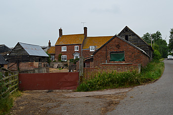
Clipstone Farmhouse June 2013
Landscape
The few houses in Clipstone lie north of Clipstone Brook. The brook itself is about 300 feet above sea-level whilst Clipstone Farm buildings are about thirteen feet higher.
The solid, or underlying, geology is Gault Formation a mudstone laid down between 99 and 112 million years ago in the warm, shallow seas of the Cretaceous Period. Along Clipstone Brook the soil is alluvium, a mixture of sand, gravel, clay and silt. There are also bands of head and river terrace deposit, differing mixes of the same materials. Glaciofluvial deposits make up the soil around the buildings, they are sands and gravels left here by the retreating glaciers at the end of the last Ice Age.

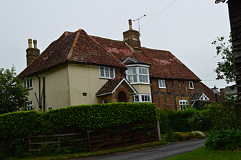
Manor Farmhouse June 2013
Name
The name Clipstone means “Clip’s farm”. In their Place Names of Bedfordshire and Huntingdonshire, English Place-Name Society volume III of 1926, A. Mawer and F. M. Stenton note that the name Clip is probably an Old Norse nickmane “Klyppr” which indicated someone with “an awkward stumpy figure” so one might even call it Stumpy the Viking’s Farm! Variations on the name include the following:

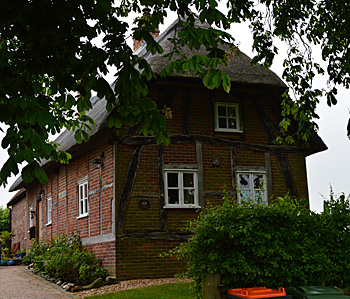
The Cottage June 2013
Administrative History
Clipstone has always been a hamlet. For most of its existence it was part of the ancient parish and royal manor of Leighton Buzzard. At this time Clipstone was a more important settlement with Eggington a minor settlement which gradually grew greater in importance than Clipstone
Since 1866 Clipstone has been part of the new civil parish of Eggington, the main settlement of which lies to the south. To judge by maps the size of Clipstone has not altered greatly since the mid 19th century.