Clipstone Maps
The map below is taken from the inclosure map of Eggington, to see a larger version please click on the image
![Clipstone in 1840 [MA61]](/CommunityHistories/Clipstone/ClipstoneImages/Clipstone in 1840 [MA61]_189x301.jpg)
Clipstone in 1840 [MA61]
The three maps below are taken from the 1st, 2nd and 3rd editions of the Ordnance Survey 25 inches to the mile maps of the area
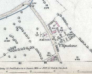
Clipstone in 1880
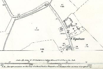
Clipstone in 1901
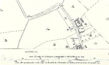
Clipstone in 1926