Budna Maps
The following maps are only a selection of those held at Bedfordshire Archives. These two maps are from the Ordnance Survey 25 inches to the mile series. One is a first edition map of 1883, the other a second edition map of 1901. To see a larger version, please click on the appropriate image.
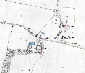
Budna in 1883
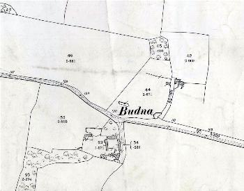
Budna in 1901