The Community of Broom in General

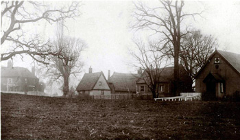
Broom Green about 1900 [Z1306/106]
Landscape
Broom lies on the so-called Stanford-Broom Plateau. The underlying, or solid, geology is Oxford Clay, a mudstone laid down between 154 and 164 million years ago during the Jurassic Period in warm, shallow seas. A narrow band of head, a mixture of sand, gravel, silt and clay overlies the Oxford Clay along the High Street and extending north through Ash Covert to just north of Hill Lane in Old Warden. The rest of the soil is made up of glaciofluvial deposits of sand and gravel laid down in the mid Pleistocene Epoch. The village stands between 115 and 130 feet above sea level.

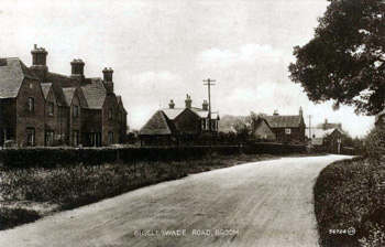
Biggleswade Road Broom about 1900 [Z1306/106]
Name
The name of Broom is self explanatory. It comes from the historical prevalence of the plant in the area. The hamlet is first mentioned in the Domesday Book of 1086.

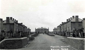
Broom Council Houses about 1950 [Z1306-106]
Administrative History
Broom is a hamlet of Southill in the Wixamtree hundred. The hamlet lies in the north east corner of the parish abutting Old Warden to the north and Biggleswade to the east. The hamlet of Stanford, also part of the parish of Southill, lies to the south.