Leighton Buzzard Ordnance Survey Maps
The following maps are all Ordnance Survey 25 inches to teh mile second edition maps of 1901. Please click on the appropriate thumbnail to see a larger image
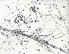
Northern part of Heath Road in 1901
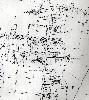
Southern part of Heath Road in 1901

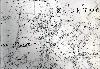
Area of Church Street and Plantation Road in 1901

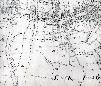
Area of North Street and Church Street in 1901
Area of Hockliffe Street and Beaudesert 1901

Area of Hockliffe Road and Leedon 1901

Area of the High Street in 1901
Area of Lake Street in 1901
Western Part of Stanbridge Road 1901
Grovebury area in 1901