The Community of Hatch in General
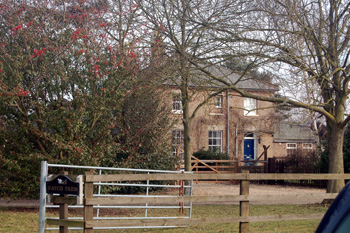
Hatch Farm March 2010
Landscape
The land is low lying, only around 80 feet above sea level. The solid, or underlying, geology is a mudstone called Oxford Clay Formation, laid down in warm Jurassic seas between 154 and 164 million years ago. South of Hatch Road the topsoil is called head, a mixture of sand, gravel, clay and silt; elsewhere the soil is clay.
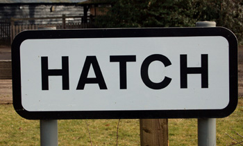
Hatch sign March 2010
Name
Hatch is first recorded in 1232 and the name seems to refer to a floodgate or sluice. The name has been recorded in the following forms:
- la Hache: 1232-1247;
- la Hacche: 1247;
- Hattche: 1539.
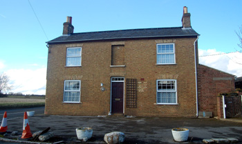
The former Barley Mow February 2010
Administrative History
Hatch is a hamlet in the ancient parish of Northill. It has always been in this parish, though formerly part of the Manor of Beeston, Thorncote and Hatch because Beeston itself, for much of its history was consdiered to be at least partly in Northill.