Fancott Maps
The first image is from the inclosure map for Toddington whilst the other two are from the 25 inches to the mile Ordnance Survey maps - 1st and 3rd editions respectively. To see a larger version please click on the relevant image.
![Fancott in 1797 [MA1-1]](/CommunityHistories/Fancott/FancotImages/Fancott in 1797 [MA1-1]_351x297.jpg)
Fancott in 1797 [MA1/1]
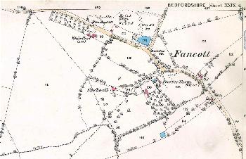
Fancott in 1882
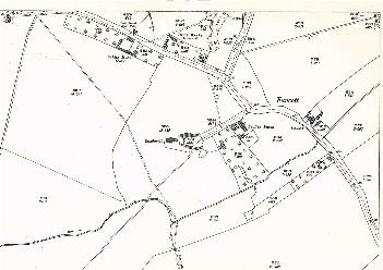
Fancott in 1926