The Parish of Barton-le-Clay in General

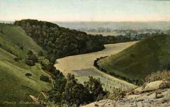
Barton Springs c.1905 [ref: Z1130/7/48a]
Landscape
Barton-le-Clay lies south of Bedford and north of Luton with the villages of Sharpenhoe, Siloe and Pulloxhill nearby. In volume II of The Victoria County History for Bedfordshire (published in 1908); the parish is listed as comprising 2,318 acres, of which 1555½ are arable land, 731¼ permanent grass and twenty-five are covered with woods and plantations. The soil was made up of strong clay with a subsoil of clay and chalk. the main crops were wheat, oats, barley, beans and peas. The land rises from north to south.
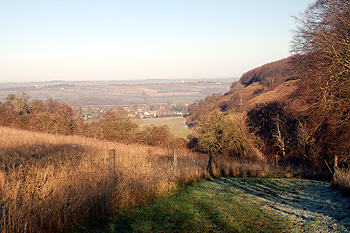
In the southeast of the parish are the Barton Hills, which form the northeast extremity of the Chiltern Hills. Much of this area of chalk downland is now a nature reserve managed by Natural England. The reserve is also designated as a Site of Special Scientific Interest. From the foot of the hillside, a spring – Barton Springs – marks the start of the chalk stream river. To the west of the village is the Sharpenhoe Clappers; a classic chalk escarpment which is part of the Chilterns Area of Outstanding Natural Beauty.
The A6 which runs from Luton (6 miles south of the village) bypasses Barton and continues through Bedford (north of the village) to Carlisle. The bypass was constructed in January 1990, after which the village was greatly extended with a significant housing development being introduced to enhance an established community.
Name
Barton-le-Clay, literally Barton in the Clay, derives its name from its position being sited where the clay soil starts under Barton Hill. On 25 May 1956 the parish was renamed from "Barton in the Clay" to "Barton-le-Clay".
- 1086: Bertone
- 1202: Barton
- 1370: Barton iuxta Shuttelyngton
- 1535: Barton-in-the-Clay
- 1560: Barton-le-Clay
- 1675: Barton Clay

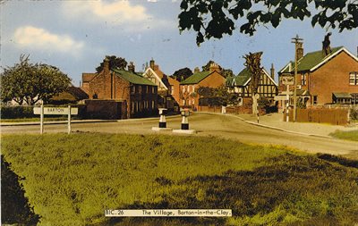
View of The Village of Barton c.1967 [ref: Z1130/7/29]
Administrative History
Barton-le-Clay is an ancient parish in the Flitt Hundred which includes: Caddington, Clophill, Flitton, Flitwick, Haynes, Luton and others. The parish borders Hertfordshire. There are two tiers of local government covering Barton-le-Clay, at parish and unitary authority level: Barton-le-Clay Parish Council and Central Bedfordshire Council. From 1894 to 1974 Barton-le-Clay came under Luton Rural District. In 1974 Luton Rural District was abolished under the Local Government Act 1972 and Barton-le-Clay became part of South Bedfordshire. In 2009 South Bedfordshire was abolished and Barton-le-Clay became part of Central Bedfordshire. On 25th May 1956 the parish was renamed from "Barton in the Clay" to "Barton-le-Clay.
Population
The Domesday Book of 1086 contains an entry for Barton-le-Clay showing it had 33 households comprising of 20 villagers, 7 smallholders and 6 slaves. As these individuals would have been heads of households, this number should be multiplied by at least four to provide an idea of the actual figure.
The Hearth Tax of 1671 records 92 dwellings in Barton-le-Clay for a total of 173 hearths. It has been estimated that this represented a population of about 421. The largest number of hearths - 12 - were in the house of Thomas Crawley, D.D. There is no note of a forge.
- 1086: 132
- 1671: 421
- 1801: 448
- 1821: 668
- 1851: 915
- 1881: 1,061
- 1901: 816
- 1951: 1,125
- 1991: 3,447
- 2001: 4,793
- 2011: 4,992
- 2021: 4,941

View over Barton-le-Clay from Sharpenhoe Clappers, January 2012
List of sources at Bedfordshire Archives:
- P21: Records for the parish of St Nicholas, Barton-le-Clay
- PCBarton: Parish council records
- Z402: Papers of Barton historian Ivan J O’Dell
- Z50/7: Photographs of Barton-le-Clay
- Z1130/7: Postcards with pictures of Barton-le-Clay
- Z1306/7: Postcards with pictures of Barton-le-Clay