Wingfield Maps
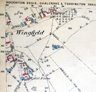
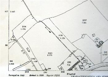
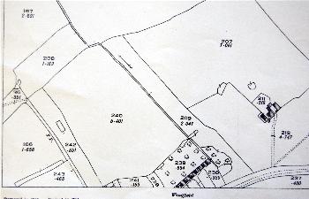
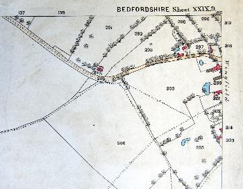
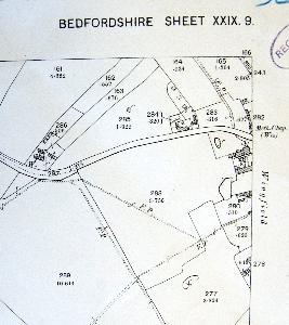
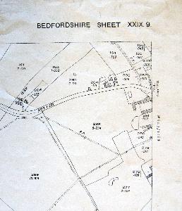
Shown below is part of the inclosure map for Chalgrave of 1800 [MA30]. The other maps are for various parts of the village on the 25 inches to the mile Ordnance Survey 1st, 2nd and 3rd edition maps on which Wingfield is on the join of three separate maps. To see a larger version please click on the appropriate image.
![Wingfield in 1800 [MA30]](/CommunityHistories/Wingfield/WingfieldImages/Wingfield in 1800 [MA30]_349x264.jpg)
Wingfield in 1800 [MA30]
The eastern part of Wingfield in 1882
The eastern part of Wingfield in 1901
The eastern part of Wingfield in 1925
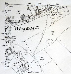
The northern part of Wingfield in 1881
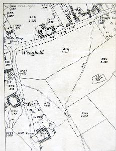
The northern part of Wingfield in 1901
The northern part of Wingfield in 1925
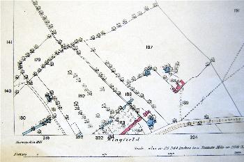
The western part of Wingfield in 1882
The western part of Wingfield in 1901
The western part of Wingfield in 1925