Tebworth Maps
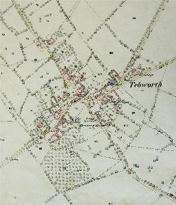
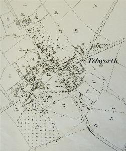
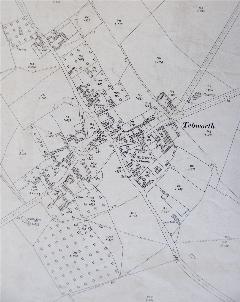
The maps below include the inclosure map for Chalgrave of 1800 [MA30] and the 1st, 2nd and 3rd editions of the 25 inches to the mile Ordnance Survey map for the village. To see a larger version of a map please click on the appropriate image.
![Tebworth in 1800 [MA30]](/CommunityHistories/Tebworth/TebworthImages/Tebworth in 1800 [MA30]_350x248.jpg)
Tebworth in 1800 [MA30]
Tebworth in 1882
Tebworth in 1901
Tebworth in 1925