The Community of Pepperstock in General

A typical sight in Pepperstock March 2007
Landscape
As might be imagined, being close to the Chiltern Hills, Pepperstock is quite elevated for a Bedfordshire village. The former Half Moon Public House stands at 550 feet above sea-level.
The underlying geology is of a type known, rather enigmatically, as Lambeth Group. It comprises clay, silt and sand and was laid down as recently as 55 to 65 million years ago in the swamps, estuaries and deltas of the Palaeogene Period. The soil is clay with flints formed up to 5 million years ago in the Quarternary and Neogene Periods.

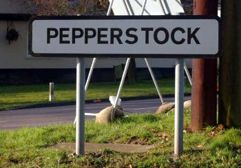
Pepperstock sign, March 2007
Name
The name, sadly, probably has nothing to do with the spice. The first element may well be an Anglo-Saxon personal name “Pippera” (as it is in the Surrey name Peper Harrow). The second element simply means a place, so the name means “Pippera’s place”.

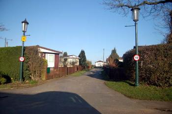
Mobile home development at Pepperstock March 2007
Administrative History
For most of its existence the Pepperstock was part of the parish of Flamstead and thus in Hertfordshire. However, in 1965 the hamlet was moved into Bedfordshire becoming part of the civil parish of Caddington and Slip End, then, in 2000 Pepperstock became part of the newly created Slip End civil parish, still in Bedfordshire. Because of its change of county Bedfordshire & Luton Archives & Records Service does not possess a great number of sources for Pepperstock.
The village seems to have a constant noise in the background, both from the M1 and from aircraft using Luton Airport. It is a very small place and duplex housing and mobile homes, including a Traveller's Site, greatly outnumber the traditional houses.