Tiddenfoot Waterside Park October 2008
A boundary charter of 966 for Linslade survives. It mentions the main east-west route through the settlement was being called Thiodweg (later called Theedway or Ede Way). It ran from the Icknield Way just south of Streatley and formed the boundary separating Eggington from Stanbridge and Leighton Buzzard from Billington. It also formed the southern boundary of Linslade. There has been speculation, from the names associated with it, that it may have been a salt way - a route for carrying that precious commodity from East Anglia west.
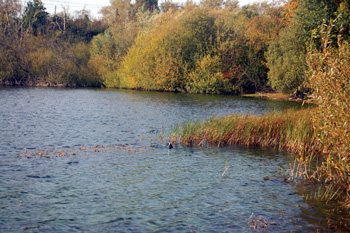
Thiodweg crossed the River Ouzel at a place called Yttingaford, probably somewhere just south of the water filled quarry called Tiddenfoot Waterside Park, Tiddenfoot is a modern derivation of Yttingaford. The River formed the boundary between Linslade and Leighton Buzzard and hence between Buckinghamshire and Bedfordshire. It had a brief place in the spot light of national events as it was here in 906, according to the Anglo-Saxon Chronicle, that King Edward the Elder made peace with the Danes on Northumbria and East Anglia. A few traces of Thiodweg remain today as green lanes or footpaths.
Adams Bottom October 2008
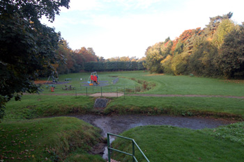
More tangible evidence comes from two cemeteries - one at the appropriately named Dead Man's Slade [NMR 346515] a sandpit just east of Plantation Road in the area of what was then called the Row Riddy Stream at Adam's Bottom. Volume 1 of the Bedfordshire Archaeological Journal [page 68] noted that many cremations in urns were recorded about 1850 and a sherd from a 6th century urn and two brooches were found in 1880 and sent to the British Museum.
Chamberlains Gardens October 2008
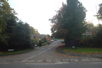
The other cemetery lay at Chamberlain's Barn sand pit east of Heath Road and south of Broomhills Farm [NMR 346517]. Seventy inhumations (with twenty two from an adjacent site to the east) were excavated in 1932 by F.G.Gurney, as reported by Bedfordshire Archaeological Journal on the same page as the report about Dead Man's Slade. Finds included two spears, a conical shield boss, three brooches, two pendants, several buckles, several bead necklaces with wire rings, several large beads and a Frankish bottle vase. The finds spanned the late 6th and 7th centuries.
The cemetery at Dead Man's Slade dated to the 6th century whereas that at Chamberlain's Barn dated to the 6th and 7th century, with the cemetery to the east of that being 7th century - a clear progression from west to east.
At Grove Priory on raised ground between the River Ouzel and a stream called Cocklake excavations unearthed a sunken floored hut and pottery sherds probably dating to the 6th century and a timber hall with ditches and pottery sherds possibly dating to the following century.
What may have been a Saxon spearhead was discovered at Sandy Lane [NMR 346537] as reported by Manshead Archaeological Society in 1972.