The Community of Shortstown in General

The sheds at RAF Cardington March 2011
Landscape
Shortstown lies on a ridge above the River Great Ouse originally called Tinkers Hill. This ridge also overlooks the two other parts of the civil parish of Eastcotts – Harrowden to the north and Cotton End to the south. The airship sheds are around 130 feet above sea-level and the former RAF Administration Block higher at nearly 140 feet.
The solid, or underlying geology is a mudstone called Oxford Clay Formation. This was laid down between 154 and 164 million years ago in the warm, shallow seas of the Jurassic Period. The northern part of the area has a superficial geology consisting of river terrace deposits of sand, gravel, clay and silt. A similar mixture, called head, lies in the southern part of the community.

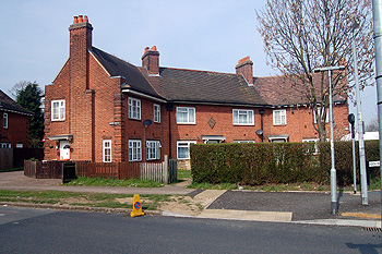
Houses at Shortstown March 2011
Administrative History
Shortstown was only created from 1916 onwards. The land originally lay in the township of Eastcotts which was itself a part of the ancient parish of Cardington. Eastcotts became a separate civil parish in 1866. Thus Shortstown has always been a hamlet of Eastcotts.

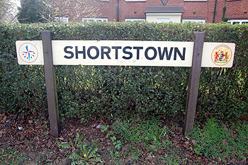
Shortstown sign March 2011
Name
The name is taken directly from Short Brothers. The Admiralty established an airship works for the company here in 1916. Ironically, the company pulled out of airship work just three years later, but the name Shortstown stuck.
![Female workers at Short Brothers about 1918 [Z50/142/461]](/CommunityHistories/Shortstown/ShortstownImages/Female workers at Short Brothers about 1918 [Z50-1_209x299.JPG)
Female workers at Short Brothers about 1918 [ref: Z50/142/461]
Population
The population of Shortstown has not been extracted from the general figure for Eastcotts in figures held by Bedfordshire and Luton Archives and Records Service. It is fair to say, however, that the majority of Eastcotts residents lived in Shortstown during the heyday of first the Royal Airship Works (1919-1930) and then the Royal Air Force base.