Heath and Reach Maps
The following maps are only a selection of those held at Bedfordshire and Luton Archives and Records Service. The following historic maps of Heath and Reach have been reduced in size to fit the page. To see a larger image of each map please click of the appropriate image.
Before Inclosure
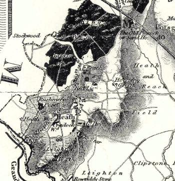
Heath and Reach on Bryant's Map of 1826
Heath and Reach Inclosure Map
Heath and Reach was inclosed in 1841. this was before it became a separate civil parish, being then still a hamlet of Leighton Buzzard.
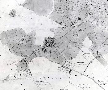
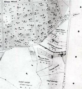
The main area of the village on the inclosure map of 1841 [MA62]
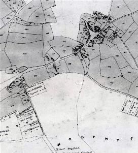
Heath on the inclosure map of 1841 [MA62]
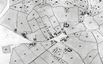
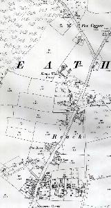
Reach on the inclosure map of 1841 [MA62]
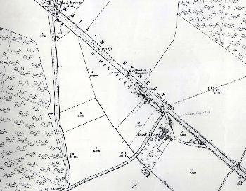
Sandhouse Lane and area on the inclosure map 1841 [MA62]
Ordnance Survey Maps
Second edition Ordnance Survey 25 inches to the mile maps of 1901
Sand House area in 1901
Reach in 1901
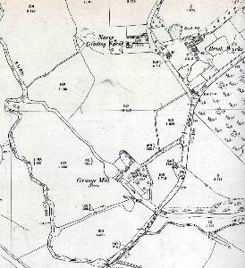
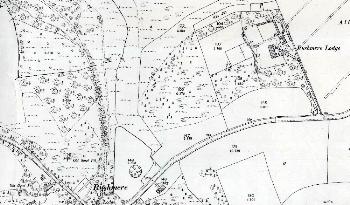
Nares Gladley and Grange Mill in 1901
Rushmere in 1901
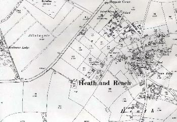
Northern part of Heath in 1901
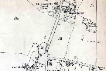
Southern part of Heath in 1901
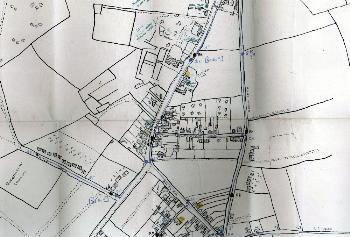
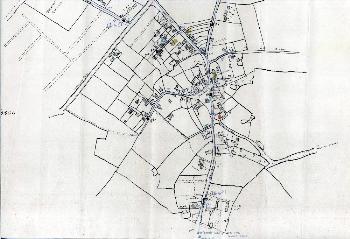
Heath and Reach War Precautions Map 1939/40
This hand draw map [P84/28/6] of the village highligts wells in blue, first aid posts in orange and food distribution centres in yellow.
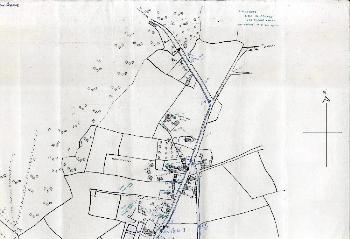
Heath and Reach War Precautions Map part 1 - the north of the village
Heath and Reach War Precautions Map Part 2 - the centre of the village
Heath and Reach War Precautions Map Part 3 - the south of the village