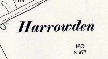
The Community of Harrowden in General
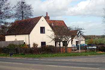
249 Harrowden Road March 2011
Landscape
Harrowden is a low-lying community - the junction between Old Harrowden Lane and the High road, for example, standing at about 100 feet above sea-level. The solid, or underlying, geology is a mudstone called Oxford Clay Formation, laid down between 154 and 164 million years ago in the warm, shallow seas of the Jurassic Period. Along the stream is a superficial band of alluvium - a mixture of sand, gravel, clay and silt. Along Old Harrowden Road is a similar mixture of soils known as head and along Harrowden Lane deposits of sand and gravel classified as river terrace deposits.
Name
Harrowden has one of the most interesting names in the county. The first element seems to be the Old English word “hearg” meaning heathen. The name probably means hill with a heathen temple. This would be Tinkers Hill suggesting a pagan grove or shrine or, perhaps, a prehistoric monument such as a barrow or stone circle in the vicinity of the modern Shortstown.
The name is first recorded in 1086 in Domesday Book. The following forms have been noted:
- Hergentone: 1086;
- Herghetone: 1086;
- Harewedon: 1166-1276;
- Harwedon: 1227-1393;
- Harwdon: 1247;
- Harudon: 1276;
- Haroudon 1276;
- Harouden: 1287.
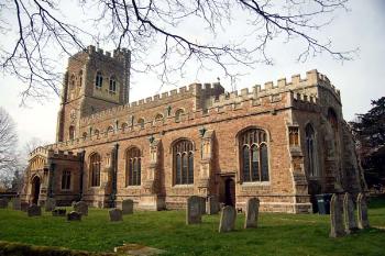
Cardington church from the south-east March 2007
Administrative History
Harrowden was one of the hamlets formerly within the township of Eastcotts, itself formerly within the ancient parish of Cardington. Eastcotts became a separate civil parish in 1866 but the new civil parish continued to lie within the ecclesiastical parish of Cardington as there was no Anglican church in Eastcotts.