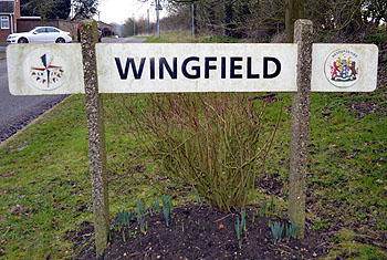
The Community of Wingfield in General
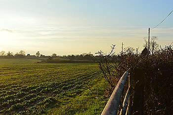
The land around Wingfield November 2014
Landscape
The solid, or underlying geology in Wingfield is known as gault formation, a sedimentary rock formed approximately 99 to 112 million years ago in the warm, shallow seas of the Cretaceous Period. The superficial geology is mostly till - a diamicton formed up to 2 million years ago in the ice age conditions of the Quarternary Period. The hamlet is quite high by Bedfordshire standards and on something of a plateau, the area around Pond Farm being 445 feet above sea-level.
Name
The derivation of the name is uncertain. "Wina's field" with Wina being an Anglo-Saxon personal name seems unlikely given the early forms of the name, for which see below. The first element may be "wince" meaning a nook of corner, as the hamlets is on a plateau at the head of a small valley. Perhaps the best suggestion is "Winta's field", Winta being a personal name.
The various versions of the name over time are as follows:
- Winfeld: c.1200-1286;
- Wynfeld: c. 1200-1286;
- Wintfeld: 13th century;
- Winefeld: 1249-1286;
- Wynefeld: 1249-1286;
- Wynchefeld: 1276;
- Wyndeselde: 1535;
- Winfield: 1675.
36 Tebworth Road February 2013
Administrative History
Wingfield has always been a hamlet of the ancient parish of Chalgrave. It is not mentioned in the Domesday Book of 1086 though a Manor of Wingfield emerged in the 14th century from holdings which can be traced back into the previous century.
![Houses in Wingfield about 1900 [Z1306/26/2]](/CommunityHistories/Wingfield/WingfieldImages/Houses in Wingfield about 1900 [Z1306-26-2].jpg)
Houses in Wingfield about 1900 [Z1306/26/2]
Population
The population of Wingfield is included with the figures for Chalgrave between 1801 and 2011.