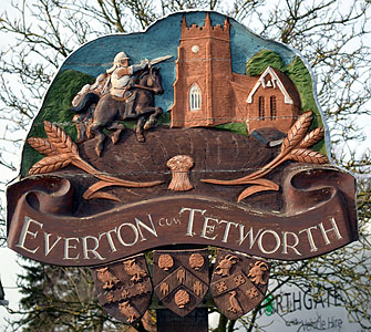
The Parish of Everton in General
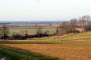
View north-west from Tempsford Road February 2013
Landscape
Everton stands on a mixed solid geology of sandstone and older mudstone. The village itself stands on a type of sandstone called Woburn Sands Formation laid down in the shallow seas of the Cretaceous Period between 99 and 121 million years ago. A band of mudstone called West Walton Formation and Ampthill Clay Formation (undifferentiated), laid down between 154 and 159 million years ago in the warm, shallow seas of the Jurassic Period, runs south-west to north-east just west of the village. Small, linear areas of a mudstone called Oxford Clay Formation intrude into this other mudstone. The Oxford Clay was deposited between 154 and 164 million years ago.
Generally speaking the soil is generally sandy at higher levels and clay in the lower lying places. Everton church is 227 feet above sea-level, whilst the lowest part of the parish, that part of Tempsford Road which crosses the railway line, is just 65 feet above sea-level. White Wood averages 260 feet.
Name
The Place Names of Bedfordshire and Huntingdonshire by A Mawer and Frank M Stenton was published in 1926 but is still the most scholarly study of the county’s place names and their origins. The name means “boar farm” the first element also being found in Eversholt. The name has had a few variations over the years:
- Euretone: 1086-1220;
- Euretune: 1086;
- Euerdon: 1227-1355;
- Euerton: 1227.
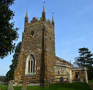
The church from the south-west February 2013
Administrative History
Everton is an ancient parish which included the hamlet of Tetworth (which became a separate civil parish partly in Huntingdonshire in 1810 and all in Huntingdonshire from 1844). It was part of the Biggleswade Hundred. Before 1933 part of the parish, including the church, was in Huntingdonshire. In 1965 Everton gained part of Gamlingay [Cambridgeshire] and part of Tetworth. The parish is surrounded by: Tetworth to the north; Gamlingay to the east; Potton to the south-east; Sandy to the south and Tempsford to the west.
Because the church used to stand in Huntingdonshire the ecclesiastical parish is still in the Diocese of Ely rather than Saint Albans
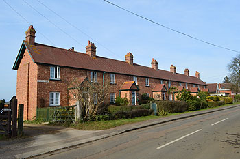
1 to 11 Church Road from the south February 2013
Population
The Domesday Book of 1086 records four villagers and five smallholders in Everton for a total of nine. As this number represents the heads of household, to get an idea of the total population it is probably necessary to multiply this figure by a factor of at least four suggesting a total population of somewhere around thirty six. Censuses have been held in Britain every year since 1801 with the exception of 1941 when World War Two made it impracticable. Figures for Everton are as follows:
- 1801: 141;
- 1811: 81;
- 1821: 154;
- 1831: 213;
- 1841: 233;
- 1851: 246;
- 1861: 248;
- 1871: 255;
- 1881: 216;
- 1891: 219;
- 1901: 221;
- 1911: 195;
- 1921: 231;
- 1931: 216;
- 1951: 279;
- 1961: 215;
- 1971: 399;
- 1981: 450;
- 1991: 475;
- 2001: 525;
- 2011: 523.