The Village of Upper Caldecote in General
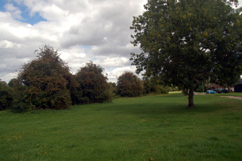
Caldecote Green August 2010
Landscape
The land is low lying. The church is about 115 feet above sea-level, the Old Beer House about 90 feet and the junction of Biggleswade Road with the A1 only around 85 feet above sea-level.
The solid, or underlying geology is a mudstone known as Oxford Clay Formation. This was laid down in the warm, shallow Jurassic seas between 154 and 164 million years ago. Superficial geology overlies the solid geology and was laid down in the last two million years. Much of the village has a layer of glaciofluvial deposit of sand and gravel left by the Ice Ages of the mid-Pleistocene Epoch. The eastern end of Biggleswade Road lies on river terrace deposits from the Ivel of sand, gravel, clay and silt.
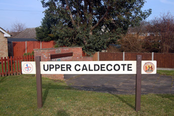
Upper Caldecote sign March 2010
Name
The name Caldecote first occurs in 1197 and Upper Caldecote is first recorded in 1363 (as Over Caldecote). The name means "cold cottages", presumably due to the exposed position on the flatlands of the IvelValley.
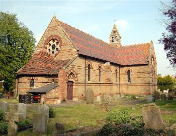
Upper Caldecote church April 2007
Administrative History
Upper Caldecote is a hamlet of the ancient parish of Northill and remains in the civil parish of Northill. It became a separate ecclesiastical parish in 1928.
Today's village is strung along two main roads - north-south along Hitchin Road and east-west along Biggleswade Road. The bulk of the hamlet lies west of the Great North Road (A1) but the hamlet (and Northill parish boundary) extends east to the River Ivel to include such properties as Ivel Farm, Elm Farm, Tudor Rose and the Sainsbury's superstore just on the Northill side of the boundary with Biggleswade.