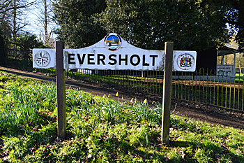
The Parish of Eversholt in General
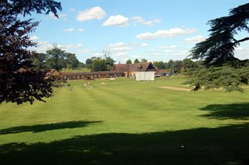
The view from Eversholt church August 2007
Landscape
Eversholt is mostly based on a solid geology of Woburn Sands Formation, a smectite-claystone, synonymous with Fullers Earth. It was formed between 99 and 121 million years ago in the shallow seas of the Cretaceous Period. There are a variety of superficial sediments: alluvium of clay, silt, sand and gravel along watercourses; till – a diamicton formed during the Ice Ages at Higher Rads End and glaciofluvial deposits of sand and gravel at Higher Berry End For the most part the soil is loamy and crops include wheat, barley, oats, beans and peas.
The church stands at 369 feet above sea-level. Hills End rises to 425 feet, the highest in the parish. Tyrells End Farm is 356 feet above sea-level and Potters End Farm 387 feet.
Name
The Place Names of Bedfordshire and Huntingdonshire by A Mawer and F M Stenton 1926 states that Eversholt means "boar’s wood". The name has undergone some variations over time as below:
- Euresot: 1086;
- Eureshot: 1086;
- Ewersholt: 1162-1179;
- Euresholt: 1185;
- Euereshold: 1202;
- Evereshout: 1202;
- Everesholt: 1219;
- Euersholt: 1221;
- Heueresholt: 1240;
- Eversolt: 1291;
- Eversoll: 1518;
- Evershold: 1526;
- Eversoult: 1552;
- Eversal: late 16th century-1722;
- Eversall: late 16th century-1722;
- Evershall: 1605
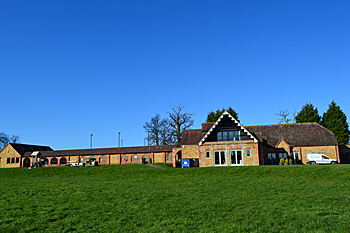
Eversholt Village Hall February 2016
Administrative History
Eversholt is an ancient parish in the Manshead Hundred. It is surrounded by Ridgmont to the north, Steppingley to the north-east, Tingrith to the south-east, Milton Bryan to the south and Woburn to the west.
Church End is as close to a centre as the parish has. It is notoriously full of ends – more, it is said, than any other parish in England. These include: Brook End; Higher Berry End; Higher Rads End; Hills End; Lower Bury End; Lower Rads End; Potters End; Tyrrells End; Water End and, most appropriately, Wits End!
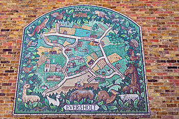
Mural on Eversholt Village Hall February 2016
Population
The Domesday Book of 1086 gave a total of nineteen villagers, one smallholder and four slaves in Eversholt. This number of twenty four represents the heads of household. To get an idea of the total population it is probably necessary to multiply this figure by a factor of at least four suggesting a total population to somewhere close to one hundred people, a very good sized settlement for its time.
Censuses reveal the following population figures for Eversholt:
- 1801: 715;
- 1811: 763;
- 1821: 870;
- 1831: 901;
- 1841: 899;
- 1851: 982;
- 1861: 885;
- 1871: 899;
- 1881: 768;
- 1891: 623;
- 1901: 574;
- 1911: 609;
- 1921: 502;
- 1931: 469;
- 1951: 441;
- 1961: 450;
- 1971: 425;
- 1981: 436;
- 1991: 388;
- 2001: 387;
- 2011: 442.