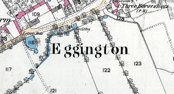
The Community of Eggington in General
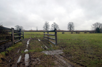
An Eggington field in December 2012
Landscape
The village stands on an underlying, or solid, geology called Gault Formation, a mudstone laid down between 99 and 112 million years ago in the warm, shallow seas of the Cretaceous Period. This leads to a clay soil. Eggington House stands on a mixed topsoil consisting of glaciofluvial deposits – sand and gravel deposited as the glaciers retreated at the end of the last Ice Age, and till – a diamicton deposited at the same time.
Eggington House stands at 405 feet above sea-level. The church is lower at 362 feet and the junction of the A4012 with Leighton Road leasing to the village lower still at 328 feet.
Name
Eggington means “oak-grown hill”, which is consistent with its elevation above the area south of Clipstone Brook and today’s A4012. The name has had a few variations over time as follows:
-
Ekendon: 1195-1297;
-
Ekyndon: 1276-1341;
-
Ekindon: 1276-1341;
-
Egynton: 1304.
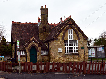
The former Eggington School January 2013
Administrative History
Eggington was a hamlet of Leighton Buzzard. It was originally a minor settlement, less imprtant than Clipstone to the north. During the middle ages Eggington was laid out, by whom is not known, as a model village, with properties to the north of today's High Street and the whole of the area to the south was a green. The road originally would have been straight, meaning that Manor Farm is an encroachment on the green, at what date is not known.
In 1810 it was created a separate ecclesiastical parish and became a separate civil parish in 1866. In 1984 the boundary with Leighton Buzzard was changed. Until that point the built-up area around Leedon Lower School was in Eggington but the boundary was then moved eastwards to the edge of the built-up area, Eggington thus lost a proporation of its population reflected in the census figures for 1981 - 374 and 199 - 266 [MCDP87/1]. Other changes were made in the boundaries with Heath and Reach and Hockliffe but none fo these included inhabited areas. Eggington is bounded by Heath and Reach to the north, Hockliffe to the east, Stanbridge to the south, and Leighton Buzzard to the west. The south-eastern tip of Eggington meets the north-west tip of Tilsworth..
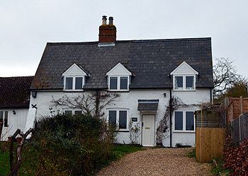
Woodbine Cottage January 2013
Population
Eggington has never been a large village. The population figures below show a pattern, which is not unusual in Bedfordshire, of steady growth in population from 1801 to 1861. There is then a fall in the later part of the 19th century due to the Great Agricultural Depression which meant people left the land and migrated to nearby towns such as Leighton Buzzard in search of work. Since 1900 the population has been fairly stable.
- 1801: 206;
- 1811: 223;
- 1821: 302;
- 1831: 348;
- 1841: 390;
- 1851: 431;
- 1861: 439;
- 1871: 375;
- 1881: 274;
- 1891: 268;
- 1901: 239;
- 1911: 236;
- 1921: 240;
- 1931: 243;
- 1951: 228;
- 1961: 301;
- 1971: 284;
- 1981: 374
- 1991: 266;
- 2001: 287;
- 2011: 287.