The Community of Cotton End in General
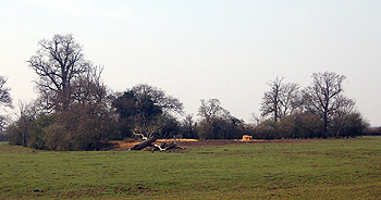
Countryside at Cotton End March 2011
Landscape
Eastcotts lies in the flood plain of the River Great Ouse, except near the boundary with Old Warden at the south-east where it lies on a clay escarpment. Throughout the area, though, the solid, or underlying, geology is Oxford Clay, a mudstone laid down between 154 and 164 million years ago in the warm, shallow seas of the Jurassic Period.
Cotton End lies some way south of the river mostly along the A600 and at the foot of Hammer Hill. The village is quite low-lying - the Baptist church stands at 108 feet above sea level and 32 Wood Lane, for example, at 111 feet. Herrings Farmhouse is 125 feet above sea level.
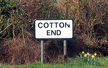
Name
The first element in the Cotton End refers to cotes or cottages. The name thus means Cottages End.
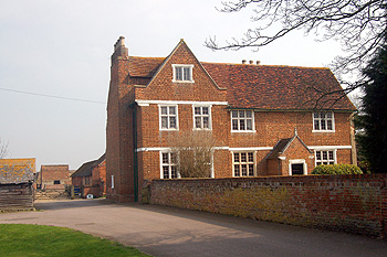
Manor Farmhouse March 2011
Administrative History
Cotton End was a hamlet in the township of Eastcotts, itself part of the ancient parish of Cardington. Eastcotts became a separate civil parish in 1866 with Cotton End as one of the hamlets of the new parish. Cotton End remained in the ecclesiastical parish of Cardington because there was, and is, no Anglican church in Eastcotts.