The Parish of Chicksands in General
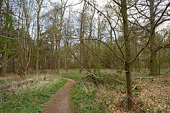
Campton Plantation April 2015
Landscape
The solid, or underlying, geology for most of the area of Chicksands is a sandstone known as Woburn Sands Formation. This was laid down between 99 and 121 million years ago in the warm, shallow seas of the Cretaceous Period. An area to the west around Temple Grove and the site of the former American radar installation colloquially known as the Elephant Cage is a mudstone called Gault Formation, laid down between 99 and 112 million years ago. The soil is either sand or clay depending on which bedrock it lies, though there are patches of glaciofluvial deposit of sand and gravel and Till, a diamicton, formed during the Ice Ages over the last two million years.
The land slopes quite dramatically north to south. Priory House is about 150 feet above sea-level. The Chicksands Avenue checkpoint is about 180 feet and the area around the former Elephant Cage about 270 feet above sea-level.
Name
The name Chicksands likely means 'Cicca's sands', from the Old English name Cicca. A. Mawer and F. M. Stenton's seminal 1926 volume on the place names of Bedfordshire and Huntingdonshire lists the variations of this name which have been recorded over the centuries:
- Chichesane: 1086;
- Chikesham: 1152-1158;
- Chichesant: 1156-1158;
- Chicchesant: 1156-1158;
- Chichesand: 1159;
- Chikesand: 1161-1244;
- Chikessand: 1161-1244;
- Chichessand: 1162;
- Chichesham: 1162;
- Chiksond: 1163-1179;
- Chikessand: 1185-1276;
- Chikkessand: 1185-1276;
- Chikesand: 1190-c.1230;
- Chikesond: 1202-1385;
- Chikessond: 1202-1385;
- Chykesond: 1202-1385;
- Chykessond: 1202-1385;
- Chikesaunde: 1227-1316;
- Chiksaund: 1227-1273;
- Chikesaunt: 1240;
- Chikesend: 1242;
- Chijkesond: 1250;
- Chikesonden: 1287-1420;
- Chikesondene: 1287-1420;
- Chiksanden: 1287;
- Chikesand Dene: 1300;
- Chikeshanden: 1307;
- Chikesaundene: 1317;
- Chiksand: 1327;
- Chyksond: 1359-1400;
- Chiksond: 1359-1400;
- Chixham: 1388;
- Chiksonden: 1390-1400;
- Chikessounde dene: 1428;
- Chyxsond: 1457;
- Chickson: 1655
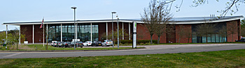
Central Bedfordshire Council headquarters April 2015
Administrative History
Historically, Chicksands was an extra-parochial place, meaning it was not organised as a parish. This is because of its association with Chicksands Priory preceding the dissolution of the monasteries. It became a separate civil parish in 1858, but retained ecclesiastical ex-parochial status, having no Anglican church.On 1st April 1985 it became part of the modern parish of Campton and Chicksands. Further boundary changes to the modern parish occurred in 1993.
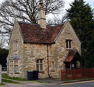
Entrance Lodge opposite Priory Road April 2015
Population
The only potential inhabitants for Chicksands listed in The Domesday Book of 1086 are three freemen who held some of the land. Even if these individuals were all heads of large households of seven, this generous estimate would still amount to a population of only twenty-one, making Chicksands very small even by the standards of the time. However, given that much of the land consisted of woodland, it was occupied by around seventy pigs!
Census figures from 1801 to 2011 show changes set out below. Chicksands continues to be a very small settlement right up until the mid-twentieth century, when RAF Chicksands was used by the American Airforce. This is reflected in the sudden leap in population size, from 51 to 687.
- 1801: 42;
- 1811: 36;
- 1821: 56;
- 1831: 66;
- 1841: 60;
- 1851: 74;
- 1861: 77;
- 1871: 46;
- 1881: 43;
- 1891: 64;
- 1901: 62;
- 1911: 39;
- 1921: 56;
- 1931: 51;
- 1951: 687;
- 1961: 607;
- 1971: 1250;
- 1981: 994.