The Parish of Blunham in General
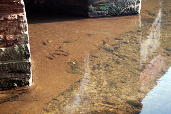
Fish at Blunham Bridges August 2009
Landscape
Blunham is a parish of which the River Great Ouse forms the western and northern boundaries and the River Ivel part of the eastern boundary. Volume III of The Victoria County History for Bedfordshire was published in 1912 and at that date the parish comprised 3,020.5 acres, but this included Chalton and Mogerhanger. Just under 60% of the land was in arable cultivation and the principal crops were market garde produce with some wheat, oats and barley.
The underlying, or solid, geology throughout the parish is Oxford Clay - a mudstone laid down between 154 and 164 million years ago in the Jurassic Period when the land was under warm, shallow seas. The superificial geology varies - either side of the rivers it is alluvium - a mixture of clay, silt, sand and gravel. Either side of the High Street and Grange Road and also the northern part of Station Road are river terrace deposits of sand and gravel whilst most of The Hill and Park Lane as well as the area around the former station is covered in glacial sediment called till.
The parish is low-lying. The church stands at just 80 feet above sea level. The junction between The Hill and Station Road is higher at 115 feet and the lowest area, along the rivers, such as at Blunham Bridges, is around 65 feet.
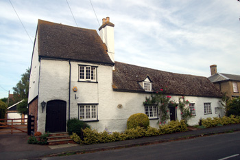
54 Park Lane - The Old Manor House August 2009
Name
The name Blunham probably means Bluwa’s homestead. Bluwa was an Old English personal name. The name was recorded as Blunham, the first time it was mentioned in the surviving records, in 1066 but has had a considerable number of variants over the years, as the following shows:
- Blunham: 1086 onwards;
- Bluneham: 1086-1303;
- Bluham: 1227;
- Blowneham: 1250-1287;
- Bluenham: 1276;
- Blounham: 1276-c.1550;
- Blonham: 1276-1584;
- Blownham: 1314-1526;
- Blownam: 1425;
- Bleweham: 1527;
- Bloneham: 1531-c.1550;
- Bloungham: 1629
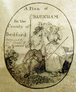
A cartouche on the Blunham Inclosure Map of 1799 [MA10]
Administrative History
Blunham is an ancient parish in the Wixamtree Hundred. It previously contained Chalton, South Mills and Mogerhanger as hamlets. Mogerhanger became a separate ecclesiastical parish in 1860 and a separate civil parish in 1866. Chalton is now a hamlet in Mogerhanger. Blunham is surrounded by Great Barford to the north-west, Roxton to the north, Tempsford to the north-east, Sandy to the east and Mogerhanger to the south.
![Looking from Park Street to the junction of High Street and The Hill - note the onion loft in the centre distance [Z50/19/11]](/CommunityHistories/Blunham/BlunhamImages/Z50-19-11.jpg)
Looking from Park Street to the junction of High Street and The Hill - note the onion loft in the centre distance [Z50/19/11]
Population
Blunham has never been a particularly large place. At Domesday the total number of manorial tenants mentioned is just 14 but this figure should be multiplied by at least four to allow for women and children, giving a minimum population of say 56. The population of Blunham today is nearly three times that of 1801. The population grew steadily in the first two decades of the 19th century and then stayed remarkably stable between 1821 and 1961 - with a high of 667 and a low of 540, a difference of just 127. Between 1961 and 1971 the population increased by around 25% with the growth of new housing.
- 1801: 376;
- 1811: 472;
- 1821: 540;
- 1831: 580;
- 1841: 625;
- 1851: 667;
- 1861: 647;
- 1871: 598;
- 1881: 620;
- 1891: 599;
- 1901: 598;
- 1911: 603;
- 1921: 603
- 1931: 590;
- 1951: 598;
- 1961: 612;
- 1971: 805;
- 1981: 858;
- 1991: 899;
- 2001: 925;
- 2011: 946.