Biddenham Maps
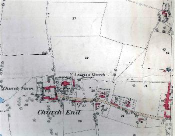
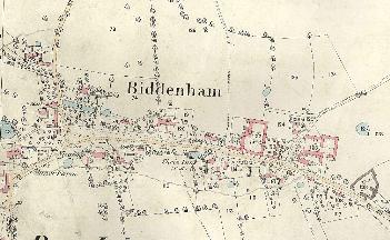
The following maps are only a selection of those held at Bedfordshire and Luton Archives and Records Service. The two maps below date from 1794, before the inclosure of Biddenham. To see a larger version please click on the relevant image.
![Church End in 1794 [X1-51]](/CommunityHistories/Biddenham/BiddenhamImages/Church End in 1794 [X1-51]_350x225.jpg)
Church End in 1794 [X1/51]
![The main part of the village in 1794 [X1-51]](/CommunityHistories/Biddenham/BiddenhamImages/The main part of the village in 1794 [X1-51]_351x215.jpg)
The main part of the village in 1794 [X1/51]
The map below is a copy of the inclosure map for Biddenham of 1828. Again, to see a larger version please click on the image.
![Biddenham in 1828 [MA52]](/CommunityHistories/Biddenham/BiddenhamImages/Biddenham in 1828 [MA52]_349x218.jpg)
Biddenham in 1828 [MA52]
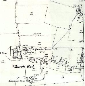
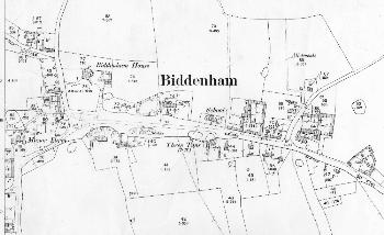
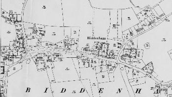
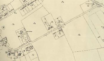
The maps below are Ordnance Survey 25 inches to the mile maps. The first series dates to 1883-1884, the second series to 1901 and the third series to 1926. Before the third series there was practically no development in Biddenham Turn, hence that area is not shown in the 1880s and in 1901. Bromham Road remained practically undeveloped throughout. To see a larger version please click on the relevant image
Church End in 1883
The main part of the village in 1884
Church End in 1901
The main part of the village in 1901
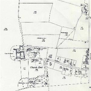
Church End in 1926
The main part of the village in 1926
Biddenham Turn in 1926