Wootton Green Maps
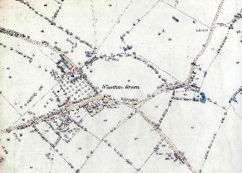
The image below is from the Wootton inclosure map of 1838 [MA67].
![Wootton Green in 1838 [MA67]](/CommunityHistories/WoottonGreen/WoottonGreenImages/Wootton Green in 1838 [MA67].jpg)
Wootton Green in 1838 [MA67]
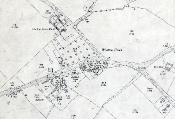
The two maps below are from the Ordnance Survey 25 inches to the mile series. The first edition map dates from 1883 and the third edition map from 1926. To see a larger version please click on the relevant image.
Wootton Green in 1883
Wootton Green in 1926