Linslade Before 1086
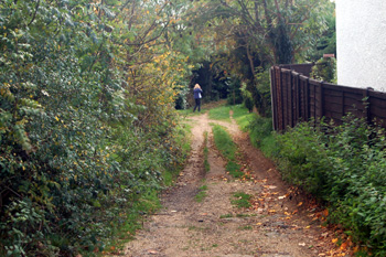
Bossington Lane October 2008
The Stone Age
The earliest indication of any settlement in the area of what is now Linslade comes in the form of a variety of palaeolithic stone tools found near the River Ouzel in the 19th and early 20th centuries. These may well have been washed down the river from other nearby sites. One palaeolithic hand-axe was found further from the river, however, in Bossington Lane [National Monument Record Number 346540] in the 19th century.
A Neolithic flint knife was discovered at Jackdaw Hill in the 19th century, perhaps during the excavation of the railway in the 1830s. A stone arrowhead was also found in the parish in the 19th century. A Stone Age flint spear [NMR346545] was found in Linslade in 1848 and a funerary urn [NMR346536] which may be from any period up to and including the Romano-British in the early 19th century.
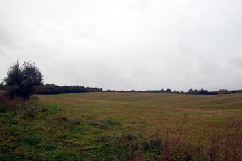
Linslade Wood seen from Stoke Road October 2008
The Bronze Age
Reminiscences of Linslade gathered in the early 20th century indicate that a number of Bronze Age barrows may have stood in the area between Linslade Wood and the railway until the area was cleared for agriculture and ballast for the railway. They would have stood on sandy heathland overlooking the River Ouzel, much like the two surviving barrows in the grounds of The Knolls in Leighton Buzzard.
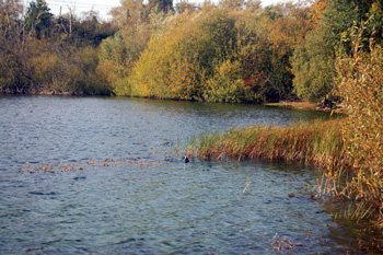
At Tiddenfoot Waterside Park October 2008
The Romano-British Period
A Romano-British burial was discovered on Tiddingford Hill, overlooking Tiddenfoot Waterside Park when a gravel pit was opened up in the mid 19th century. When the pit was reopened in the 20th century more bones and pieces of pot were found.
All the known Romano-British settlement in the area including Leighton Buzzard and Heath & Reach seems to have been on the higher ground, often close to springs. Early 20th century antiquarian Frederick G.Gurney, in his notebooks [X325], describes this fact and states that he deliberately field walked lower lying areas but could find no material in these areas.
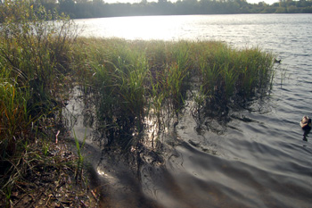
Reeds at Tiddenfoot Waterside Park October 2008
The Dark Ages
A boundary charter of 966 for Linslade survives. It mentions the main east-west route through the settlement was being called Thiodweg (later called Theedway or Ede Way). It ran from the Icknield Way just south of Streatley and formed the boundary separating Eggington from Stanbridge and Leighton Buzzard from Billington. It also formed the southern boundary of Linslade. There has been speculation, from the names associated with it, that it may have been a salt way - a route for carrying that precious commodity from East Anglia west.
Thiodweg crossed the River Ouzel at a place called Yttingaford, probably somewhere near the modern Tiddenfoot Waterside Park. The River formed the boundary between Linslade and Leighton Buzzard and hence between Buckinghamshire and Bedfordshire. It had a brief place in the spot light of national events as it was here in 906, according to the Anglo-Saxon Chronicle, that King Edward the Elder made peace with the Danes. A few traces of Thiodweg remain today as green lanes or footpaths.
The charter clearly indicates that Old Linslade was in existence near Saint Mary's church the boundaries here are characterised by names such as "the barley croft", "up-headlands" and "acre headlands".
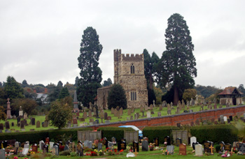
Old Linslade Church from the west October 2008